Log in
All resources
Create a design
1,096,168 Free Images of Maps Of Bern
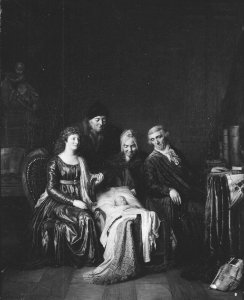
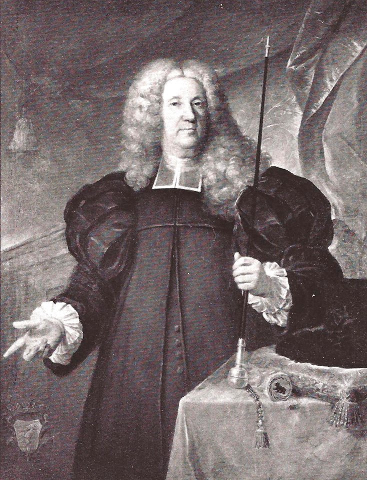
oil on canvas
maps in the library of congress
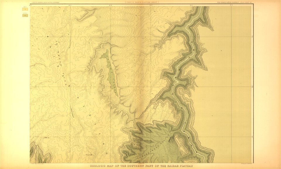
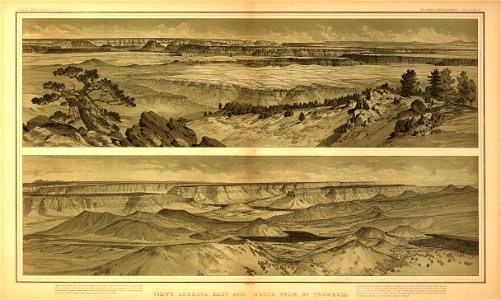
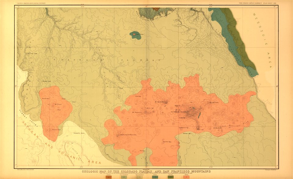
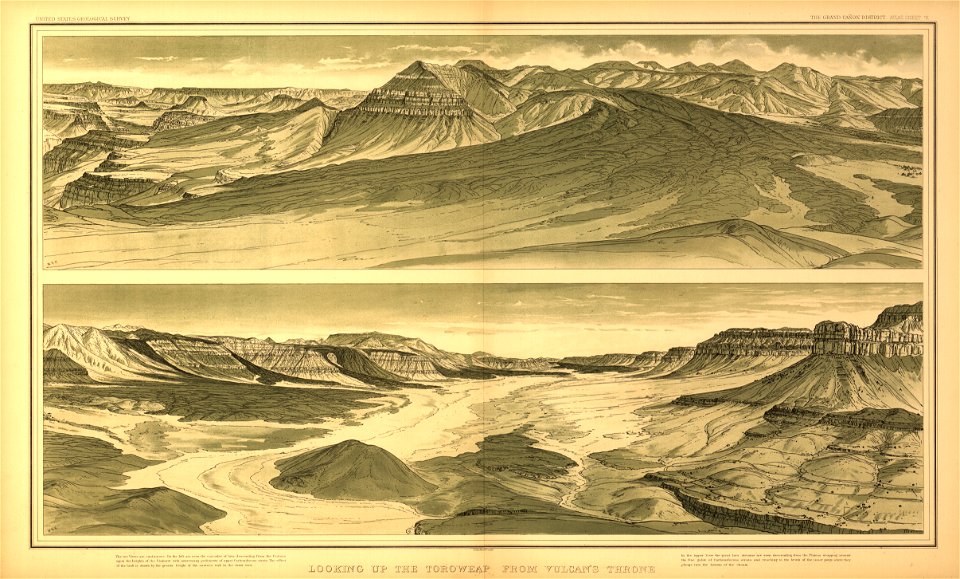
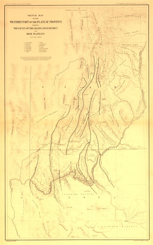
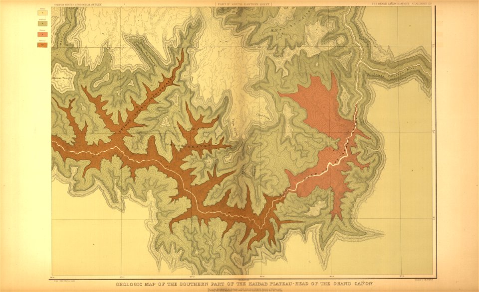
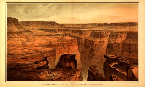
tertiary history of the grand cañon district
..
with atlas
atlantis magni tomus primus (biblioteca comunale di trento)
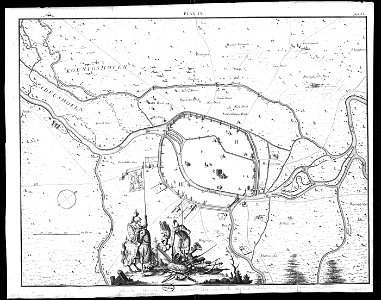
maps made in the 18th century
18th-century engravings
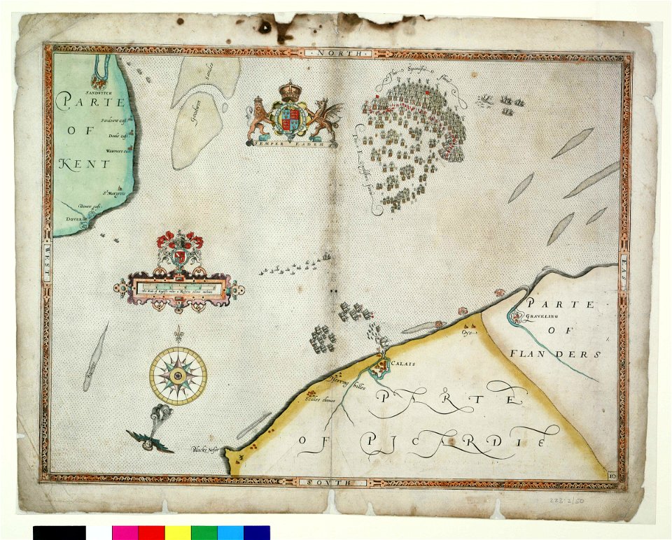
old maps of europe
war of the spanish succession
collections de la bibliothèque nationale et universitaire de strasbourg
old maps of territories in the upper rhenish circle
maps from the mechanical curator collection
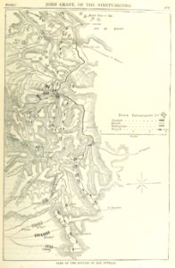
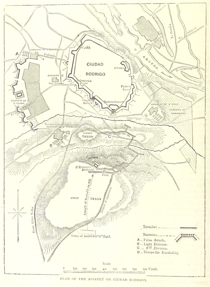
british battles on land and sea
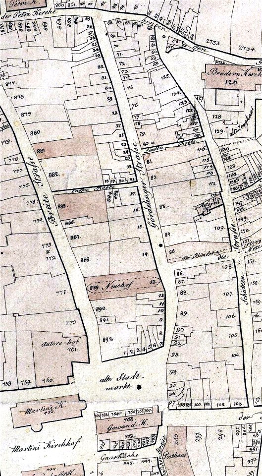
streets in hamburg-langenhorn
hamburger stadtentwässerung
maps from the mechanical curator collection
british battles on land and sea
portrait paintings of men at bust length
daniel defoe
self-portrait (judith leyster)
caravaggisti
united states presidential election, 1860
sam houston
batalha dos guararapes (victor meirelles)
portuguese empire
matenadaran ms 2627 - gospel
gospel of mark - chapter 1
theatre of england
stages in london
illustrations of the wonderful wizard of oz by william wallace denslow
prints of lions
portrait of thomas jefferson (charles willson peale - independence national historical park)
neoclassicism
old maps of turin
history of turin
irkutsk regional art museum
nikolay sergeyev
paintings of the cycle of famous men in the studiolo di federico da montefeltro
renaissance
edward vi of england by william scrots
1550s portrait paintings
paintings in the national portrait gallery, london
john henry frederick bacon
edward viii in photographs
george v in photographs
pedro de valdivia
romanticism
religious paintings by gerard seghers
flemish baroque painting
united kingdom in history paintings
art of british india
paintings by uroš predić
realism
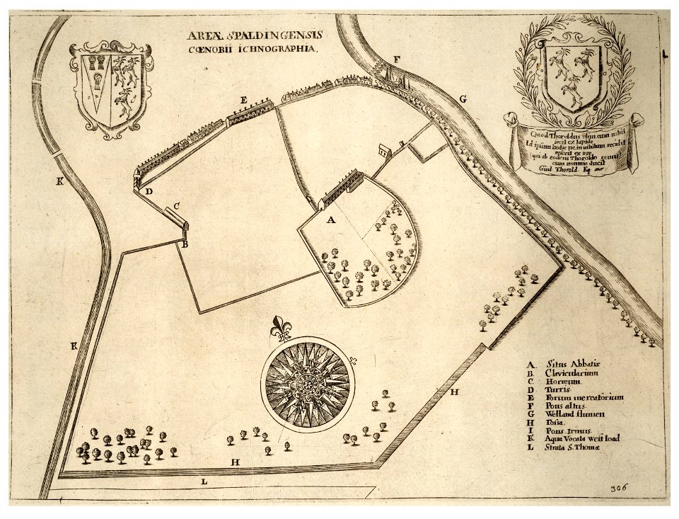
history of spalding
river welland
megalithic temples of malta
old maps of malta
lithographs of paris
floor plans of paris
utrecht
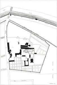
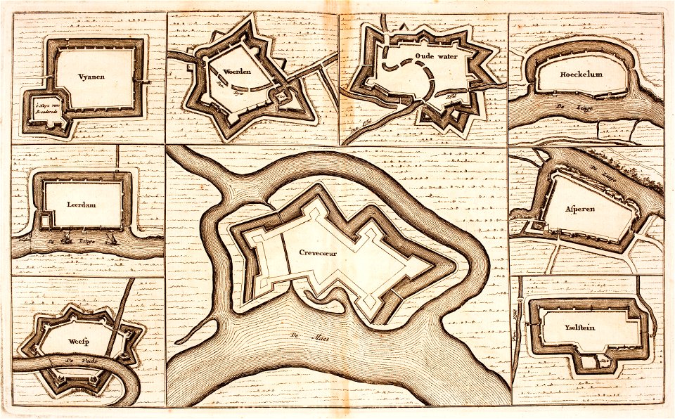
leerdam
portrait paintings of queen elizabeth, the queen mother
victorian architecture
portrait of catherine ii (fedor rokotov (?) - hermitage, эрж-3283)
rococo
artworks without wikidata item
bern (headgear)
david rumsey historical map collection
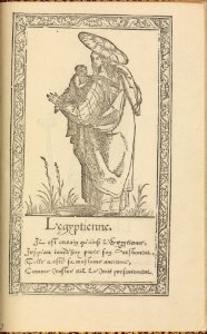
fur garments in art
copper engraving
ships on maps
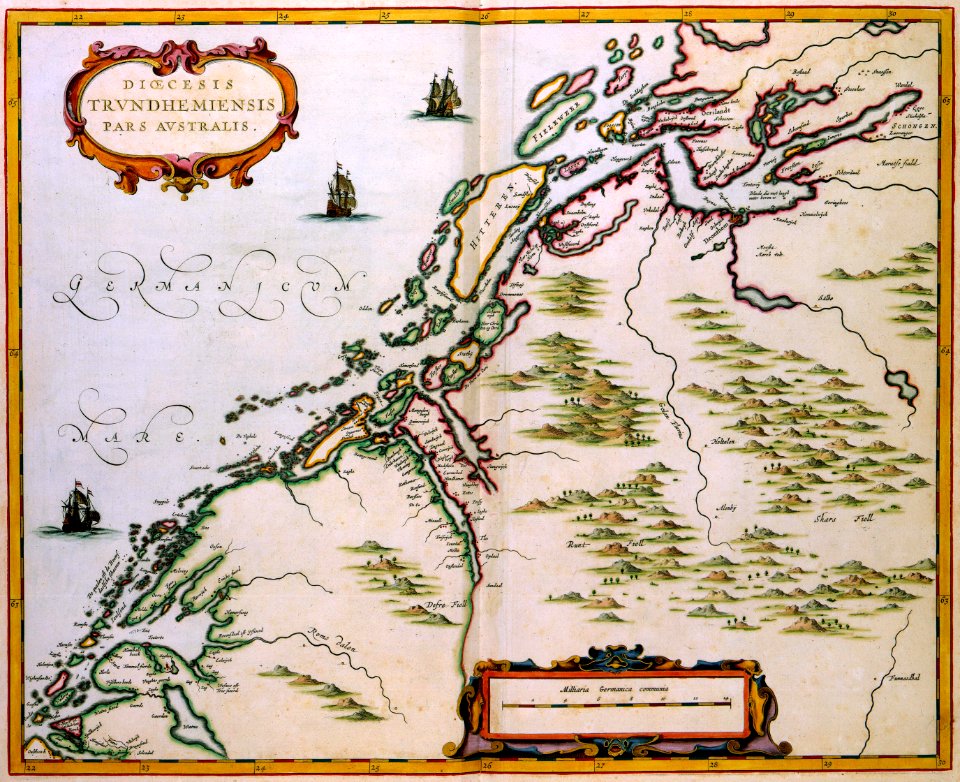
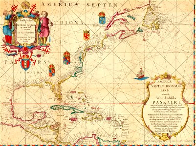
maps by willem and johannes blaeu
maps made in the 17th century
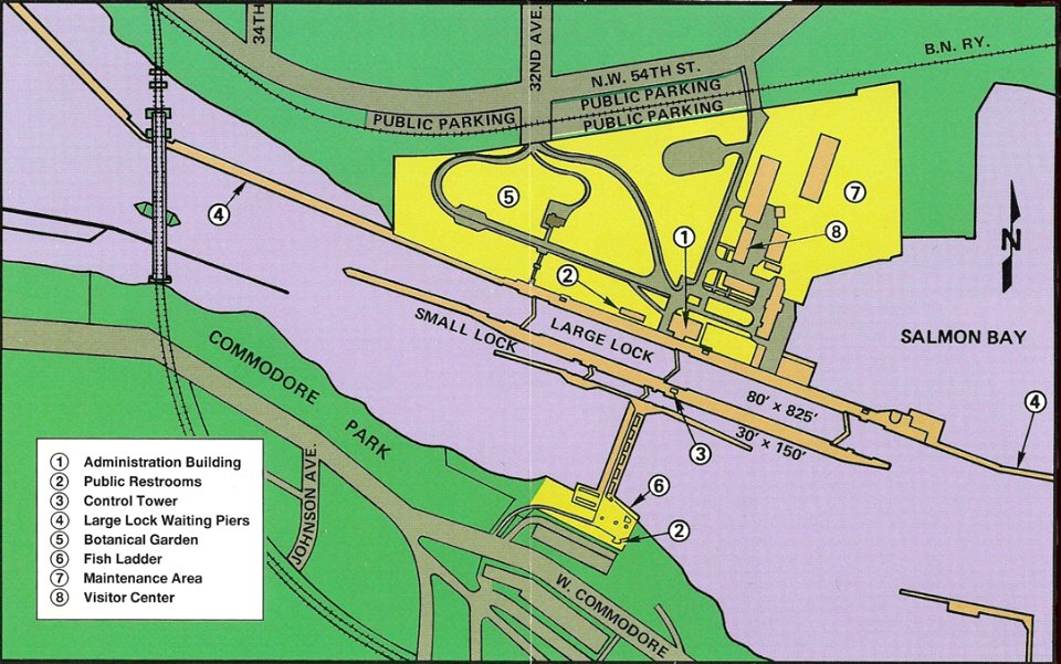
ballard locks
fish ladder
maps made in the 17th century
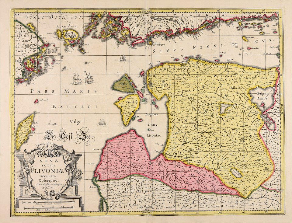
livonia
port of hamburg in art
hamburg in the 1810s
pierre-charles canot
richard paton
paintings in the portland museum of art
john neal
fathers of confederation
quebec conference, 1864
18th-century oil on canvas paintings
18th-century family portraits
1880s portrait paintings from the united kingdom (female)
james jebusa shannon
flemish baroque painting,baroque
workshop of peter paul rubens
thomas percy, 7th earl of northumberland
works by steven van der meulen
portrait paintings by john hoppner
mezzotints by charles turner
george hayward
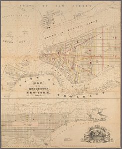
new york city
map collection of leibniz-institut für länderkunde
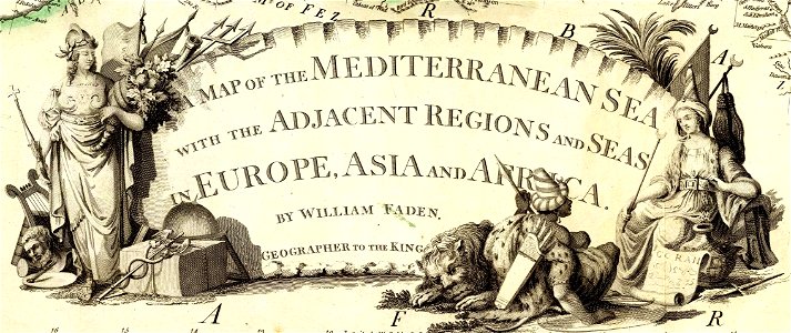
asie
francis d'avignon
north america
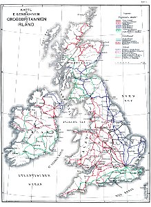
history of rail transport in ireland
enzyklopädie des eisenbahnwesens
illustrations of cosmographia (münster)
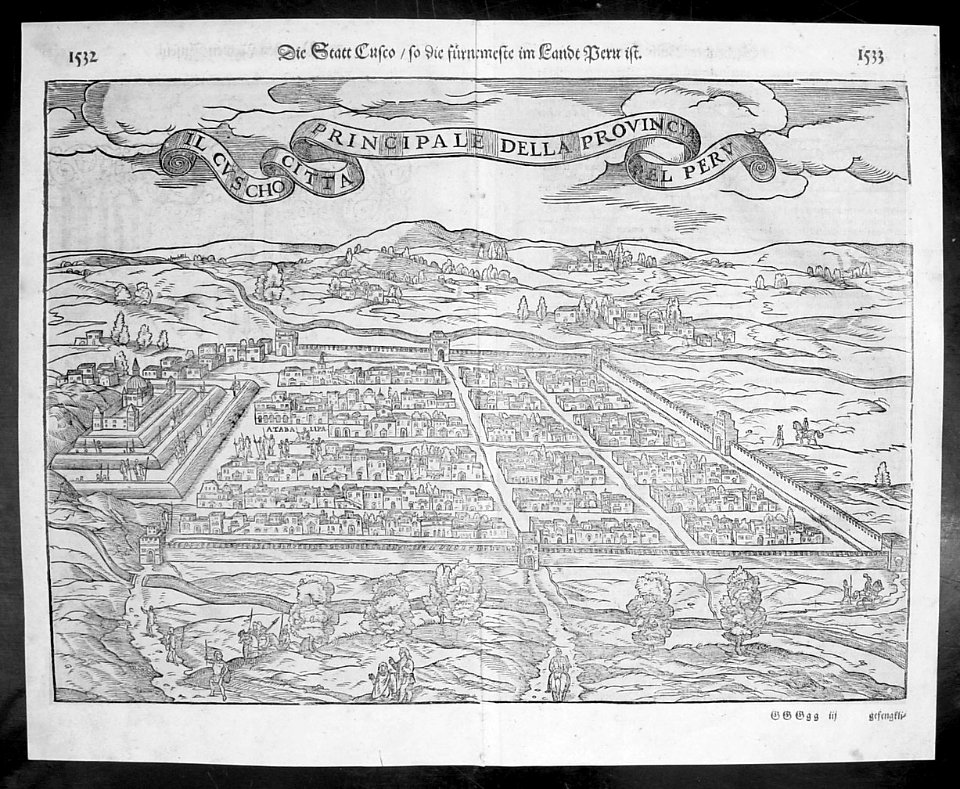
old maps of the viceroyalty of peru
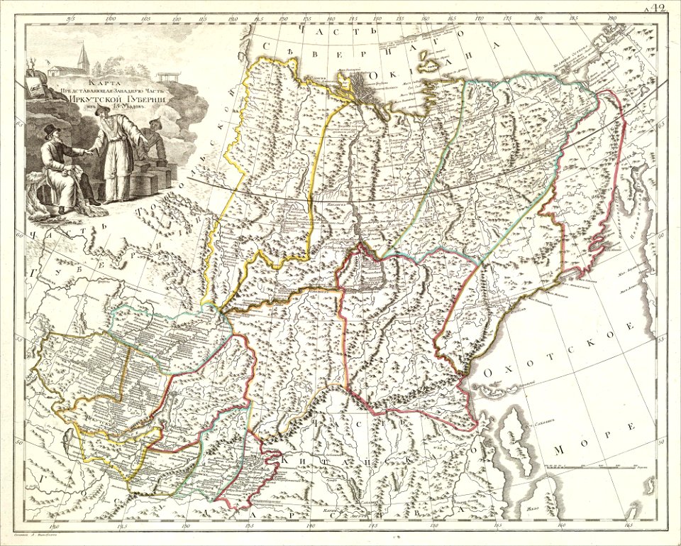
atlas of the russian empire (1800)
old maps of irkutsk governorate
kurtze beschreibung von republick venedig
17th-century engravings of towns
cornell university library
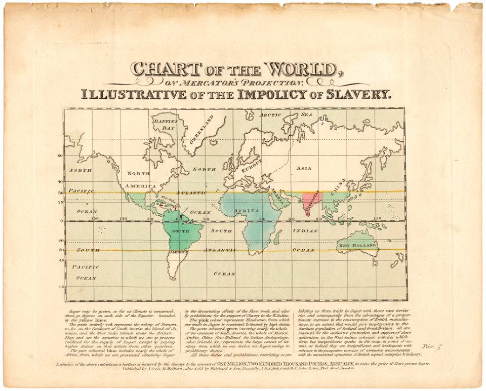
abolitionism
atlantis magni tomus quartus (biblioteca comunale di trento)
maps made in the 17th century
palais liechtenstein (fürstengasse)
vienna
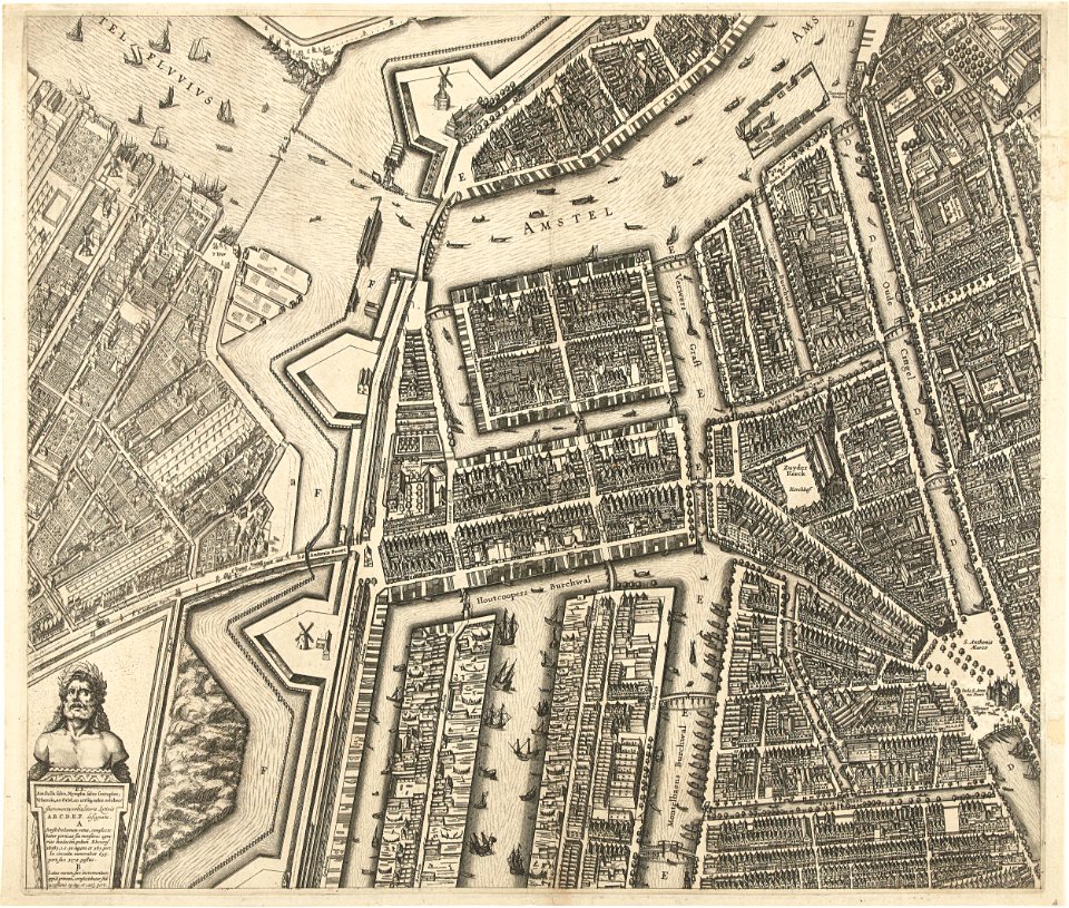
oudeschans
amsterdam
maps made in the 17th century
nicolaes visscher ii
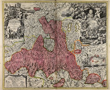
old maps of salzburg (state)
johann baptist homann
cornell university library
pictorial maps
crystal palace in sydenham
philip henry delamotte
charles william jefferys
battle of quebec (1775)
magazines of the united kingdom, 1876
punch magazine cartoons
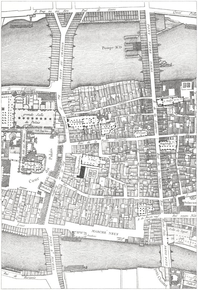
historical images of the pont saint-michel
lithographs of paris
1749 births
male
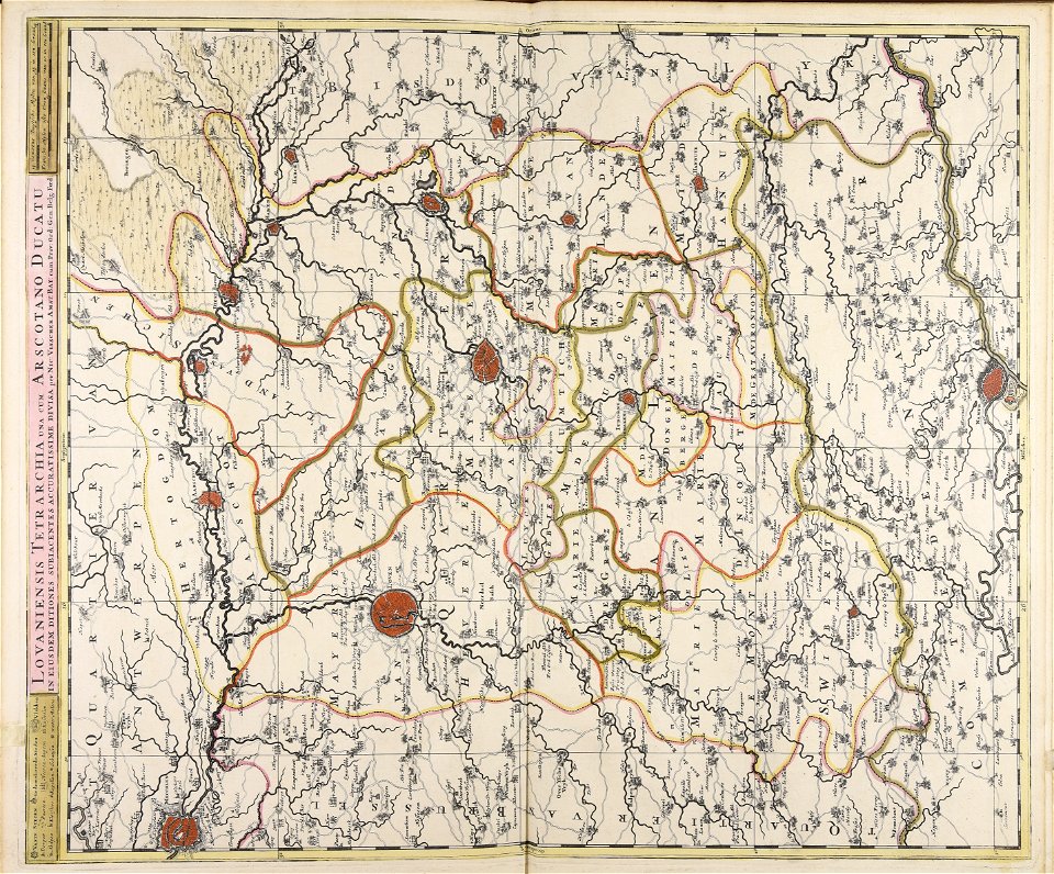
maps made in the 18th century
18th-century engravings
maps and topographical views by joris hoefnagel
crete under venetian rule
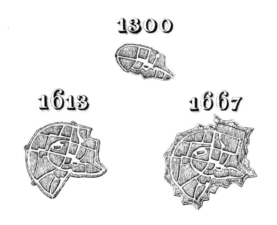
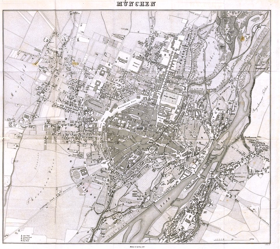
munich in the 19th century
old city maps of munich
munich in the 19th century
old city maps of munich
charts and maps of the royal museums greenwich
1590 maps
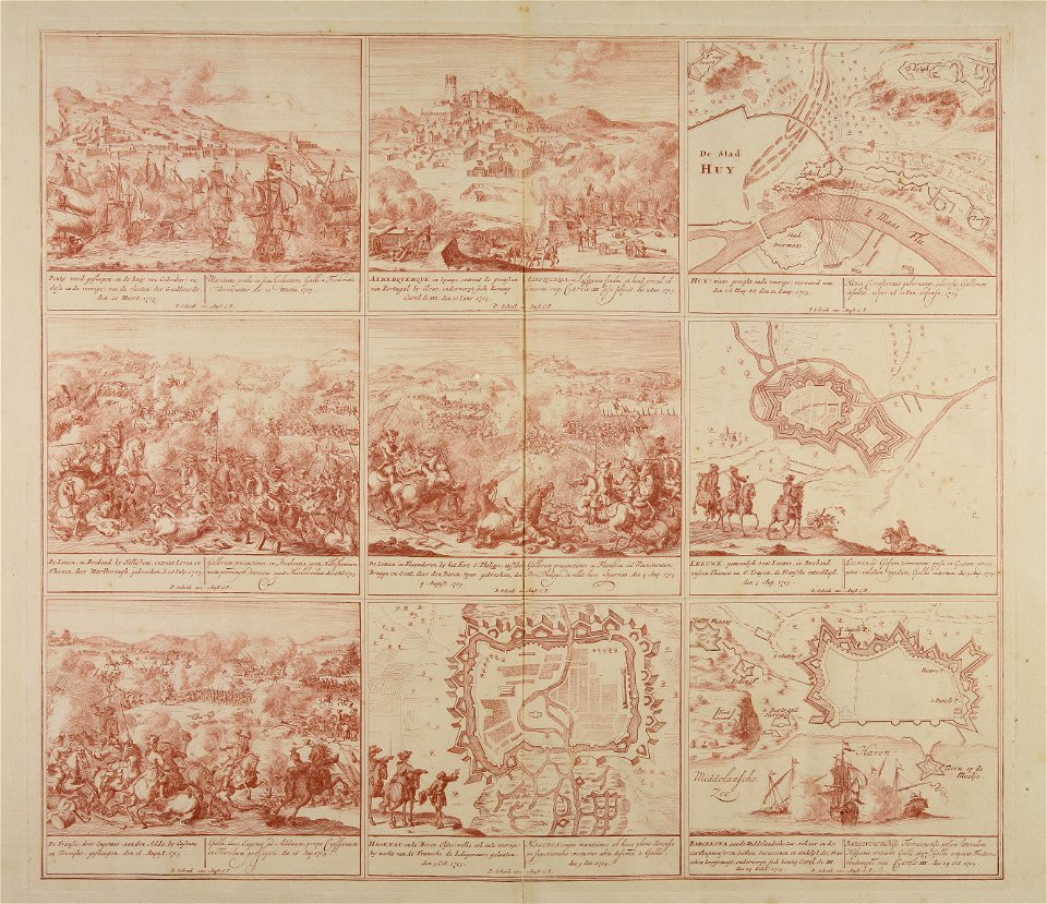
maps made in the 18th century
18th-century engravings
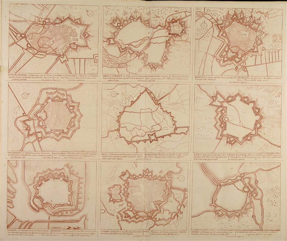
maps made in the 18th century
18th-century engravings
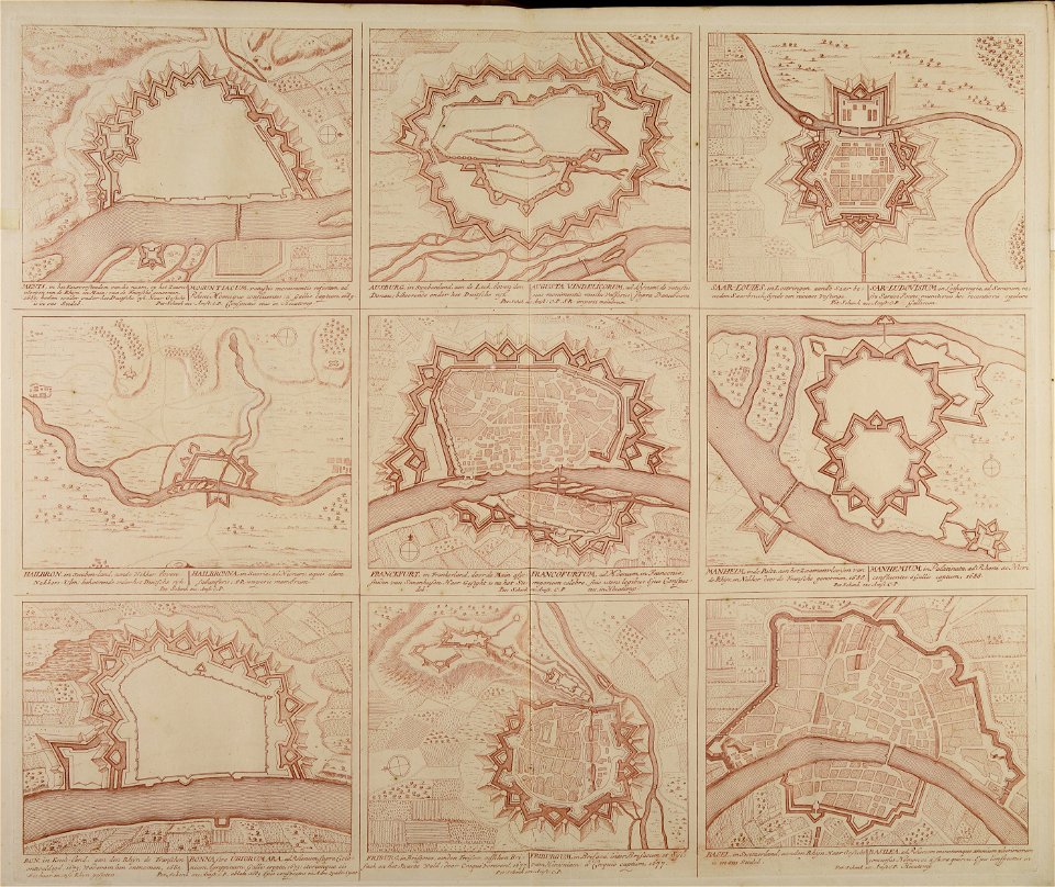
maps made in the 18th century
18th-century engravings
maps made in the 18th century
18th-century engravings
maps made in the 18th century
18th-century engravings
maps made in the 18th century
18th-century engravings
maps made in the 18th century
18th-century engravings
maps made in the 18th century
18th-century engravings
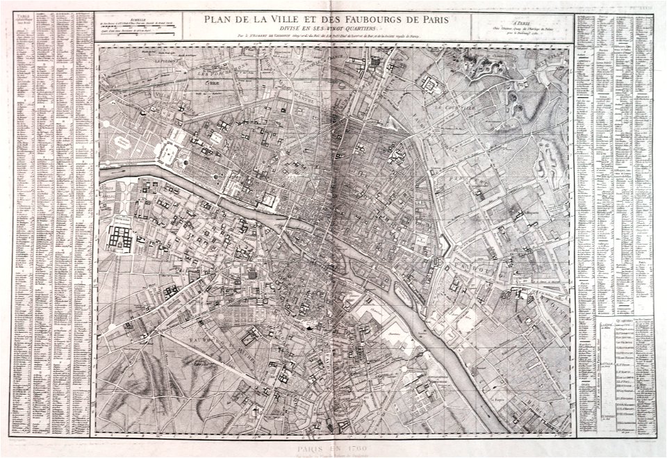
maps of paris from paris musées
1760 in paris
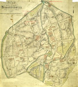
collections of stadtarchiv braunschweig
old maps of braunschweig
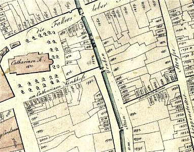
collections of stadtarchiv braunschweig
old maps of braunschweig
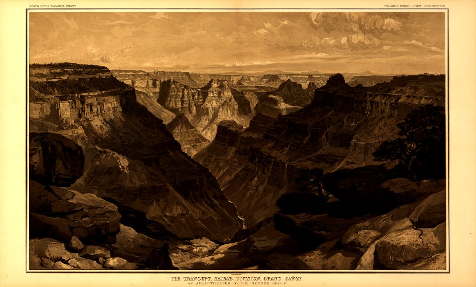
tertiary history of the grand cañon district
maps in the library of congress
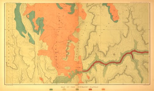
tertiary history of the grand cañon district
maps in the library of congress
tertiary history of the grand cañon district
maps in the library of congress
tertiary history of the grand cañon district
maps in the library of congress
tertiary history of the grand cañon district
maps in the library of congress
tertiary history of the grand cañon district
maps in the library of congress
tertiary history of the grand cañon district
maps in the library of congress
tertiary history of the grand cañon district
maps in the library of congress
tertiary history of the grand cañon district
maps in the library of congress
tertiary history of the grand cañon district
maps in the library of congress
tertiary history of the grand cañon district
maps in the library of congress
tertiary history of the grand cañon district
maps in the library of congress
vilnius in art
1581
collections of stadtarchiv braunschweig
old maps of braunschweig
collections of stadtarchiv braunschweig
old maps of braunschweig
collections of stadtarchiv braunschweig
old maps of braunschweig
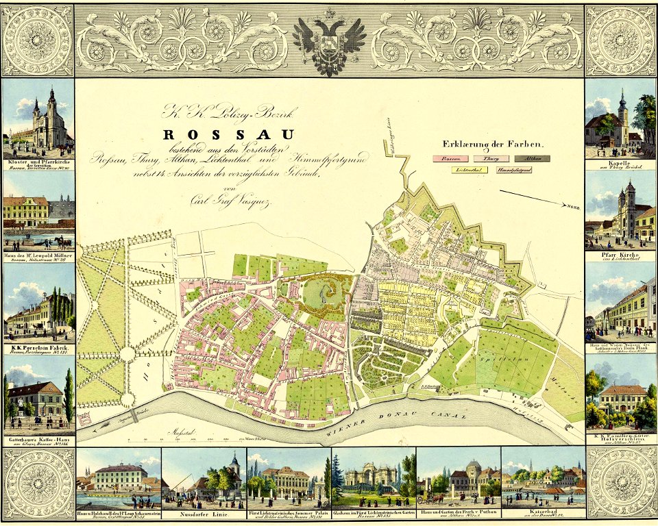
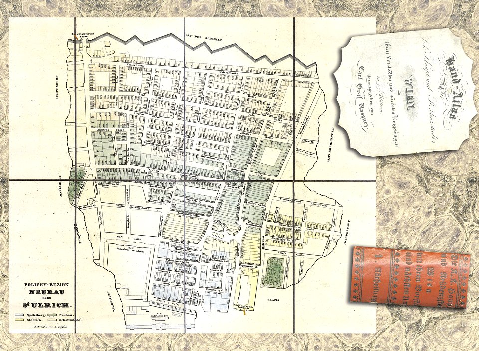
details of 1830 vienna map series by carl graf vasquez
old maps of neubau (vienna)
details of 1830 vienna map series by carl graf vasquez
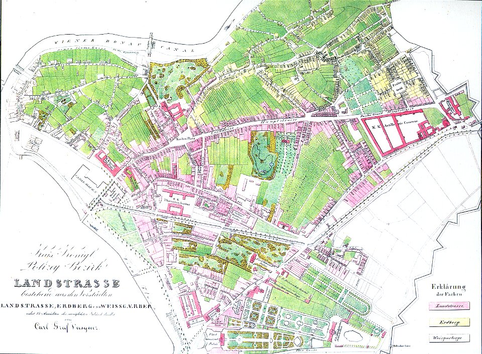
old maps of landstraße (vienna)
details of 1830 vienna map series by carl graf vasquez
fahnenstangenwasser
details of 1830 vienna map series by carl graf vasquez
stuwerviertel
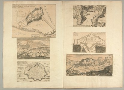
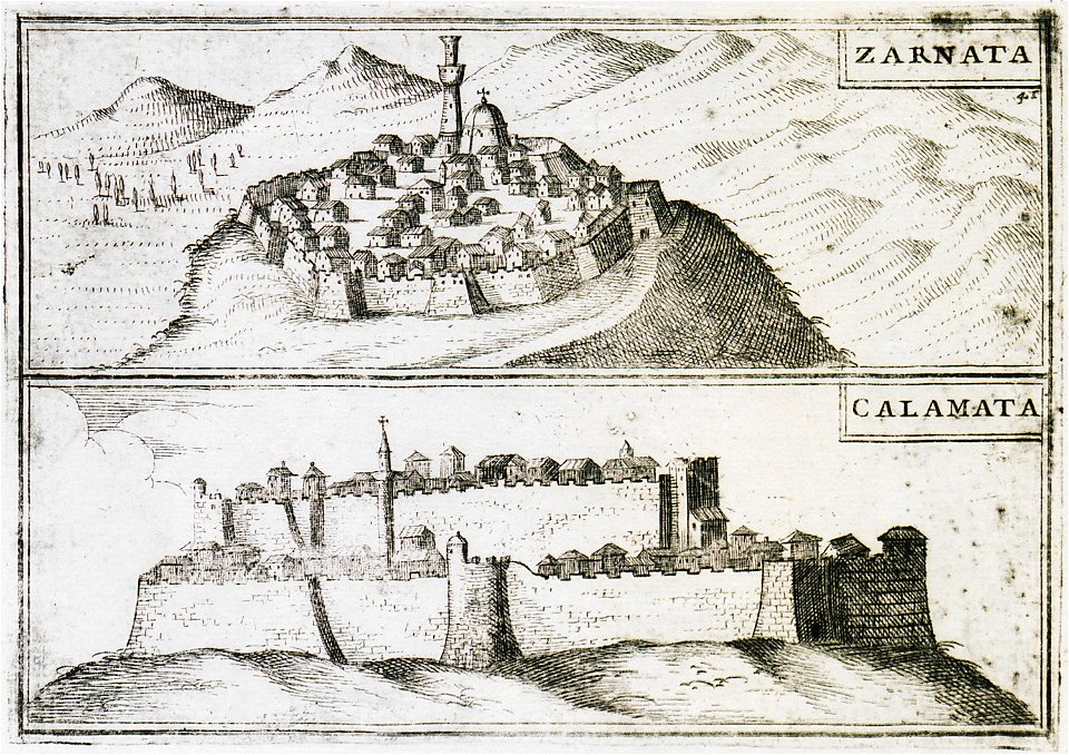
geographical illustrations by coronelli
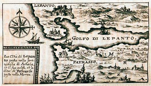
old maps of the peloponnese
university of toronto wenceslas hollar digital collection
hollar maps and plans of london
8401 - 8500 of 1,096,168
Next page
/ 10962